Stay connected. Sign up for the Rubin Museum’s monthly newsletter to receive updates about upcoming exhibitions, programs, digital features, and more.
SubscribeKathmandu Mandala
Kathmandu Mandala
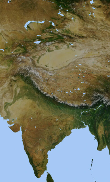
Kathmandu Mandala is a term used to describe the political and religious landscape of the Kathmandu Valley of Nepal, traditionally inhabited by Newar people. Politically, the Kathmandu Mandala consisted of the three city-states of Kathmandu, Bakhtapur, and Patan, as well as smaller settlements around them. Religiously, the Kathmandu Mandala was a network of Hindu and Buddhist sacred sites that marked the center and boundaries of the region. From 1768 the Kathmandu Valley was unified under the rule of the Shah dynasty from outside of the valley.
Nepal Mandala


